The Furrow
A John Deere Publication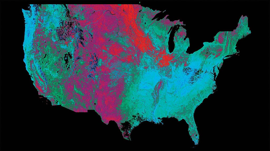
Agriculture, Ag Tech November 01, 2020
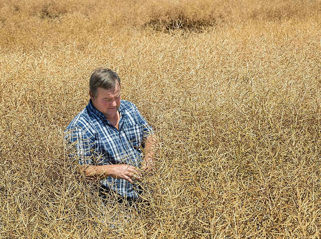
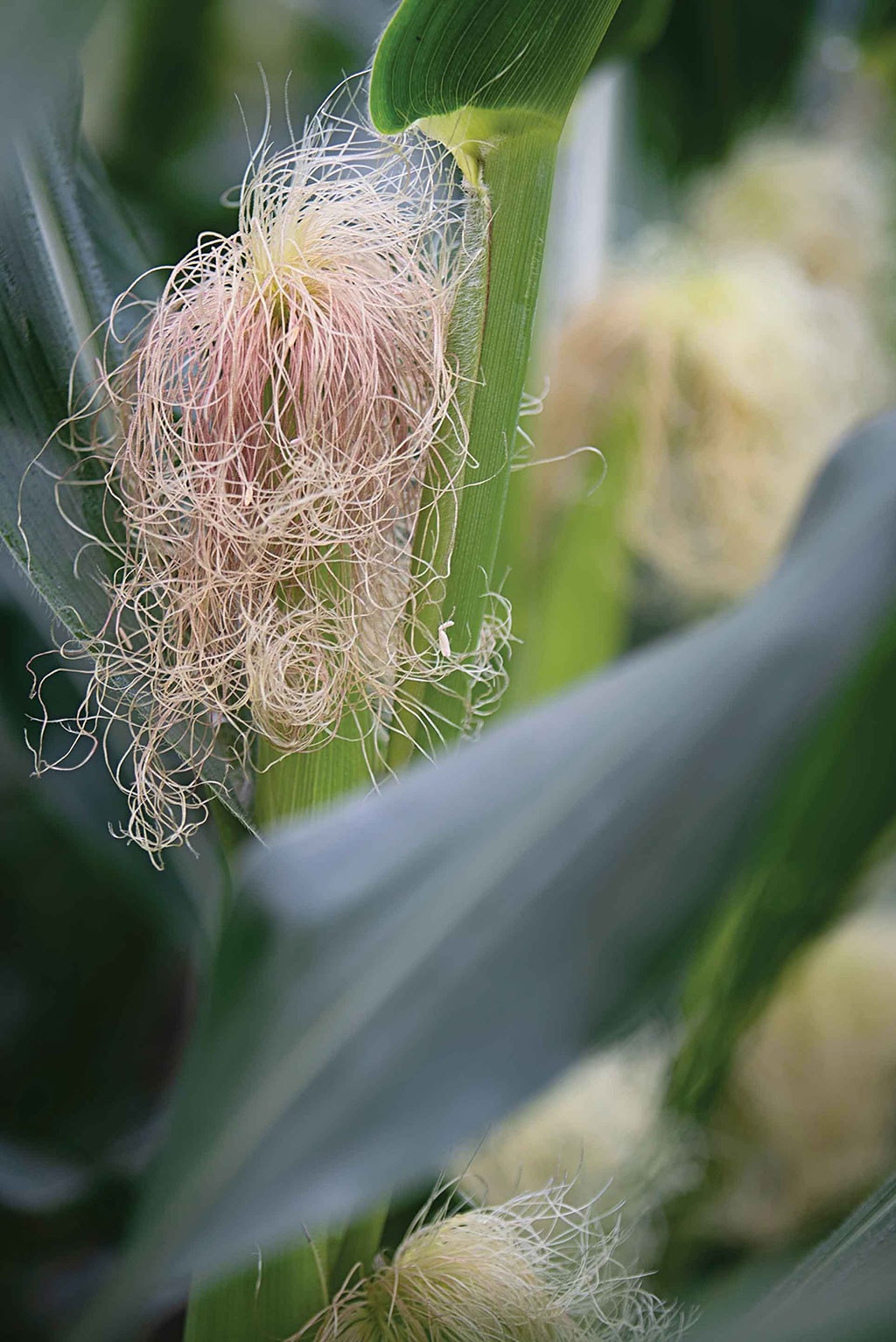
Watching Corn Grow
Stages of development in major corn growing states.
The Landsat 8 satellite completes an orbit around the earth every 99 minutes on a mission to capture images in approximately 100-by-100 mile chunks as it goes. Landsat 8 has been collecting data for seven years, adding 1.6 million images to the U.S. Sustainable Land Imaging Program database.
The launch of a successor, Landsat 9, is expected in 2021, and that bird will be flying in July 2022 as the program celebrates the 50th anniversary of the original Landsat 1 launch. The Landsat series has provided the longest continuous global record of the earth’s surface. The Landsat partnership, between NASA and the U.S. Geological Survey, allows free access to this archive, so data miners can look for gems in these vast veins of information.
Inflection point. The Landsat mission might sound dull—watching corn grow, so to speak—but the remote sensing scene is bubbling with interest. A recent industry survey found that more than two dozen companies are interested in deploying satellites, and more than 100 enterprises have sprung up to evaluate satellite data. “We may have reached an inflection point,” says David Potere. “The technology has finally caught up with the vision that was laid out 50 years ago.”
Potere co-founded a startup company called TellusLabs, with a passion to produce a living map of the world’s food supply—a Google Maps approach to providing a digital representation of the calories available to the human population. TellusLabs was acquired by Indigo Agriculture in 2018; the mission of mapping the food supply continues as Potere leads Indigo’s GeoInnovation team, which also works to identify opportunities to boost sustainability and open up new profit opportunities for farmers.
“There are a few key factors behind the growing interest in satellite data,” he says. “One is simply the fact that we have been watching long enough.” Both Landsat and its European Space Agency counterpart, Sentinel, supply open, license-free use of high quality data that allows researchers to study not only state-by-state and county-by-county comparisons, but also field-by-field performance stretching back over at least 20 years. That’s a lot of data to crunch.
Boots-on-the-ground measurements of crop conditions assist in training machine-learning models to improve their predictions with the passing of each growing season.
“Our Indigo Atlas platform has more than 4 quadrillion observations in its database,” Potere adds. “Only recently has an entity other than a government been able to afford and manage that amount of data. In the past few years, cloud computing services have significantly cut the costs associated with accessing and processing data.”
The final piece of the puzzle is the ability to make sense of this unfathomable amount of data. “That’s where machine learning and artificial intelligence comes in,” he says. “We believe in human-led machine learning, so we use services of experts such as agronomists to provide experience in the domain. But the computer has to go the last mile to find answers.”
Ground truth. Those algorithms may find the answer, but it takes input from the ground to help these systems “learn” and improve their insight. Boots-on-the-ground observations from the National Agricultural Statistics Service provide vital input. On-farm input also boosts the training of these models; Deere users can enable a data-sharing connection so that, with one push of a button on a CommandCenter™ display, data can be sent directly to the Indigo Atlas platform.
As models grow more powerful, they can provide unique insights. University of Illinois scientists, for example, are investigating early warning systems that allow growers to make applications of nutrients or pesticides to protect yields during the growing season. Indigo produces production forecasts for corn and soybean crops based on signals that the satellite picks up directly from the crop canopy.
That’s just the beginning of services that Potere believes can be provided by satellite sensing. “We watch approximately 3.5 million fields every day in the U.S.,” he says. Indigo studies not just cash crops, but regenerative practices such as cover crop and no-till practices. “Our mission at Indigo is to help farmers sustainably feed the planet,” Potere says. “Satellites will play a key role in that mission."